|
| 360 degree shot standing at 40.247852,-76.890175 GPS Coordinates |
 |
| Northern Central Railway bridge |
 |
| CVRR (PRR) bridges that would take trains to Enola's yard. |
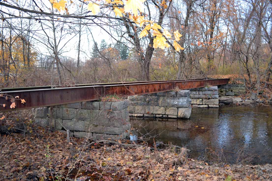
The next one is a dual girder. This bridge is obviously not in use as the tracks have been removed.
 |
| Most western of the three girder bridges. |
After you drive under these three bridges you see a Keystone marker that explains Lemoyne was formerly named Bridgeport. It was also known as Riverton before that, but was changed. Incorporated in 1905, Lemoyne (Bridgeport) was a hub for the Cumberland Valley Railroad.
Here is a map from 1872 that shows many rail lines converging at Bridgeport. This is before the Philadelphia & Reading line made its way into the area. But, the Northern Central was in existence and paralleled the Susquehanna River. Although there is no sign of the J Tower, later called Lemo, one can see the need for a tower. This photo shows how many tracks filled this area. Notice the tower in the center an smoke stack to the right.
In this photograph you can see the tower and the smoke stack a little closer. The tower now exists at the train museum in Strasburg, PA.

 If you go to this page http://d_cathell.tripod.com/lemo.html and scroll down to the third photo the caption explains that until a curved steel bridge was built in 1901, the Northern Central trains would have to bring their trains around the tracks in the foreground and then travel in reverse across the CVRR bridge. They did this for 50 years!
I have taken a huge guess in laying out what I believe were the lines.

Feel free to comment on any additional thoughts, guesses, facts, or corrections.
SOURCES and suggested reading:
http://www.west2k.com/pastations/cumberland.shtml
http://www.railroadsignals.us/harris/harris.htm#the_Ex_Reading_Depot_in_Camp_Hill.__
http://d_cathell.tripod.com/lemo2.html
http://lemoynepa.com/documents/LemoyneBook.pdf